Map layers
The Map layers menu controls what is displayed on the map.
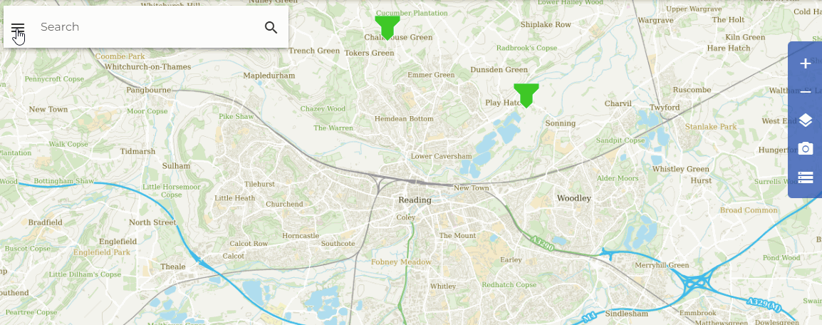
You can find the Map layers menu on the right side of the screen, either clicking on the three lines icon next to the search bar or clicking on the Map layers button in the navigation box.
Available Map layers
Contextual information
- the Drainage network , Lakes 2015 and Lakes and waterways toggles respectively display the IHDTM drainage network and waterbodies.
- the SAAR 41-75 (mm), BGS Hydrogeology, Urban Extent 2015, Urban Extent 2000, and Urban Extent 1990 toggles reveal sliders that control the transparency of the layer. A fly-out legend is available for these options hovering over the three lines icon.
The Lakes 2015 layer v the lakes used for the development of FARL2015. The Urban Extent 2015 displaysthe urban and suburban categories of land use used for the development of URBEXT2015. More details can be found in Vesuviano et al., 2025 and Rowland et al., 2017.
- the 1km graticule and 50m graticule provide a simple gridline overlay. These grids are automatically hidden at low magnification levels where they would otherwise obscure the map.
- the Basemaps display the Ordnance Survey map layers (GB) and/or OpenStreetMap (NI)
Gauging stations
- see Gauging stations.
Catchments/Points
- show/hide your Catchment data and Point data. "Purchased Catchments" and "Purchased Point Data" refers to items bought by your personal user account, whereas "Org-purchased Catchments/Point Data" are sites purchased by users who belong to the same organisational account *.
*If you have an individual (non-shared account), the "Org-" switches will have no effect.
Vesuviano, G., Wallbank, J., Griffin, A., Miller, J. 2025. New FEH Catchment Descriptors 2025: Updates to FARL, SAAR, URBEXT and BFIHOST . UK Centre for Ecology & Hydrology, Wallingford, UK.
Rowland, C.S.; Morton, R.D.; Carrasco, L.; McShane, G.; O'Neil, A.W.; Wood, C.M. (2017). Land Cover Map 2015 (25m raster, GB). NERC Environmental Information Data Centre. https://doi.org/10.5285/bb15e200-9349-403c-bda9-b430093807c7