Gauging stations
To plot gauging stations on the map, open the Map layers menu, either clicking on the three lines icon next to the search bar or clicking on the Map layers button in the navigation box. Here you will find a Gauging stations switch which will toggle the visibility of gauges.
Use the Search button to filter this set by gauge name, NRFA number, or river name.
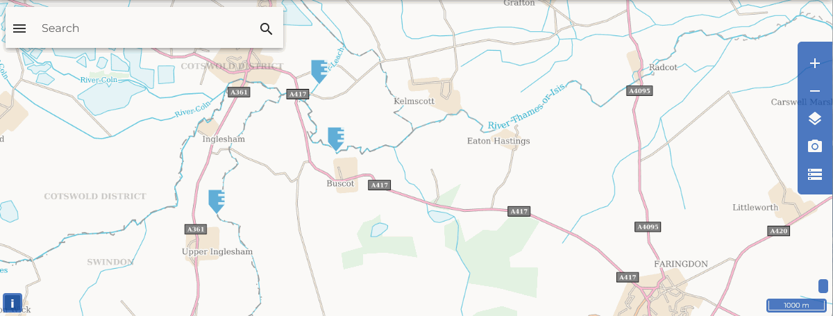
Gauging stations appears on the map as blue icons. Hover your mouse over the icon on the map to view more information on that station. Note that if you zoom out, clusters of nearby stations are collapsed into a single icon to reduce screen clutter. You can click on this icon to see the stations in the cluster.